

Use of Unmanned Aircraft Systems for Land Surveys and Infrastructure Inspections
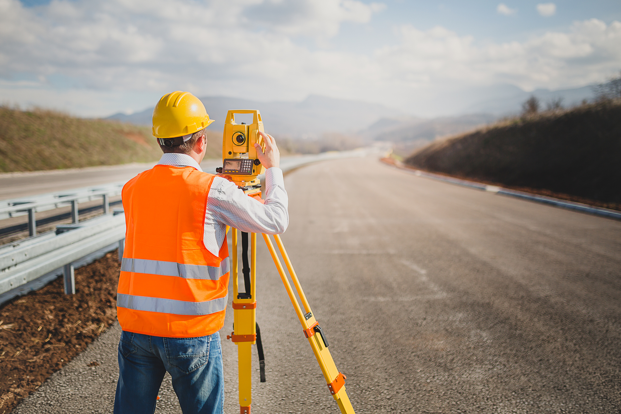
This online land surveying CPD course explores the integration of Unmanned Aircraft Systems (UAS) into civil engineering workflows for high-resolution hazard monitoring and infrastructure maintenance.
This course illustrates the technical deployment of multi-rotor and fixed-wing platforms for the precise three-dimensional mapping of landslides, rock slopes, and construction sites. It prescribes rigorous field protocols for mission planning, focusing on the optimization of ground sampling distance (GSD), camera overlap settings, and the strategic placement of ground control points (GCPs) to achieve survey-grade results.
Furthermore, this course describes specialized inspection techniques for roadside assets, such as high-mast lighting, culverts, and retaining walls, utilizing optical and thermal sensors to identify structural defects and geomorphological instabilities. The course examines the critical role of UAS in emergency management, prioritizing rapid situational awareness and bridge damage assessment during flooding events. By navigating the regulatory complexities of FAA Part 107 and establishing frameworks for large-scale data management, this course enables professionals to align advanced aerial technology with federal safety and mapping standards.
This 6 CPD online course is applicable to civil engineers, land surveyors, as well as other technical professionals who are interested in learning more about the use of Unmanned Aircraft Systems for land surveys and infrastructure inspections.
This PLS continuing education course is intended to provide you with the following specific knowledge and skills:
- Understanding automated flight missions using crosshatch and terrain-following patterns to ensure consistent data density and resolution across complex topographies
- Estimating construction quantities, including earthwork and stockpile volumes, by processing dense point clouds and digital elevation models derived from SfM photogrammetry and LiDAR
- Conducting remote inspections of bridges and roadside structures to detect cracking, settlement, and material deterioration while significantly reducing worker exposure to hazardous environments
- Recognizing the difference between civil FAA Part 107 regulations and public aircraft operations to ensure full compliance with airspace authorizations and remote pilot certification requirements
- Generating high-fidelity geospatial deliverables, such as orthomosaics, 3D reality meshes, and digital terrain models, to support official land surveying and as-built documentation
Upon successful completion of the quiz, print your Certificate of Completion instantly. (Note: if you are paying by check or money order, you will be able to print it after we receive your payment.) For your convenience, we will also email it to you. Please note that you can log in to your account at any time to access and print your Certificate of Completion.