

Proximal Soil Sensing and Data Management
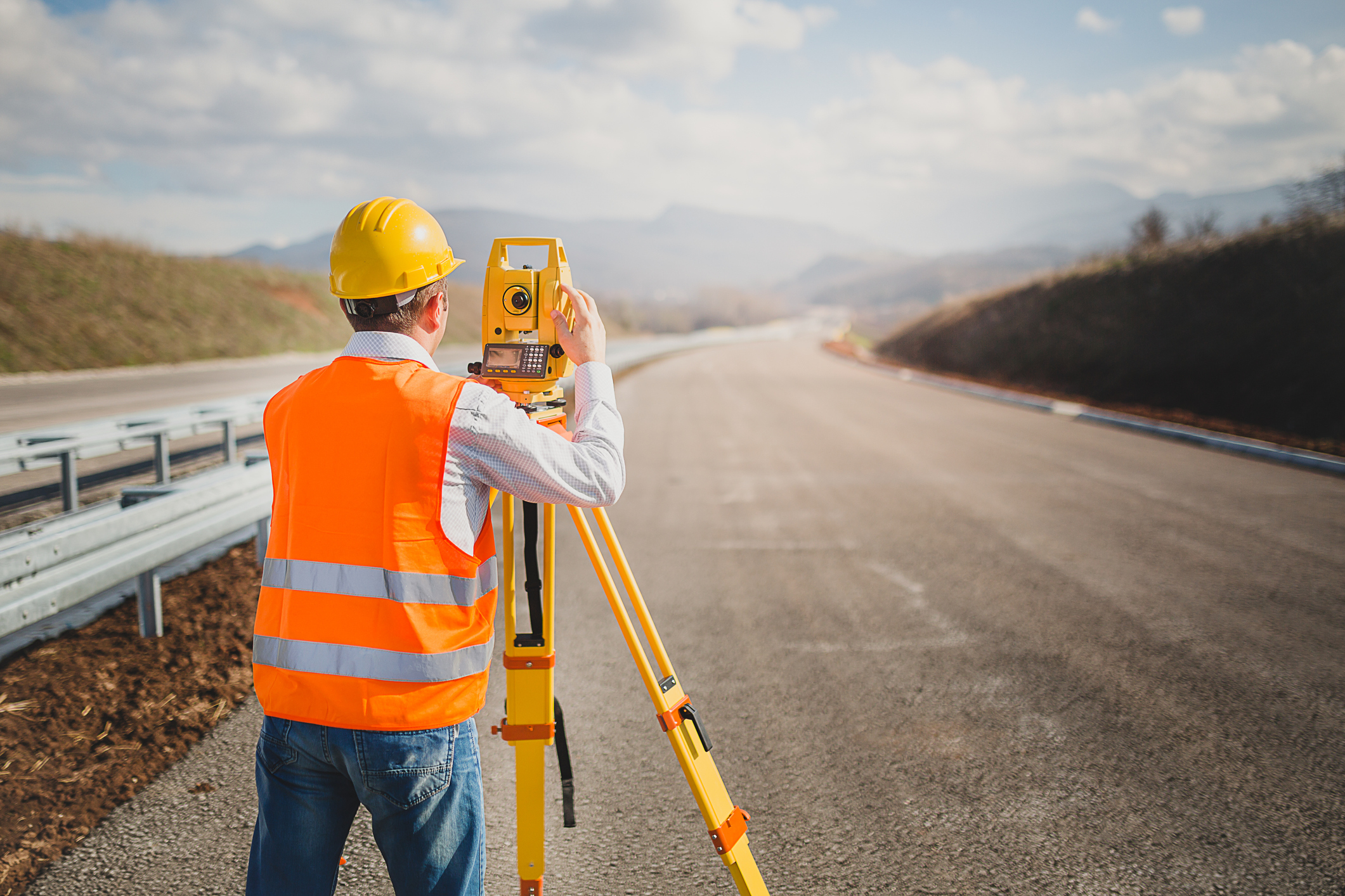
This online land surveying CPD course explores technologies and information systems that bridge the gap between high-resolution point sampling and broad-scale remote sensing.
This course demonstrates the integration of advanced proximal soil sensing tools, such as ground-penetrating radar and electromagnetic induction, into modern surveying workflows to characterize subsurface architecture and soil variability without the limitations of traditional invasive methods. It investigates the operational mechanics of geophysical tools used to map moisture, salinity, and stratigraphic boundaries, while detailing the transition toward automated data processing (ADP) for managing voluminous geospatial datasets.
Furthermore, this course sets guidelines for the lifecycle of soil information, from the standardization of field notes and digital photography to the dissemination of certified data through national information systems like NASIS and Web Soil Survey. By integrating soil measurement physics with robust database management, this course enables professionals to deliver high quality geospatial products for agricultural and natural resource management.
This 8 CPD online course is applicable to civil engineers, land surveyors, as well as other technical professionals who are interested in learning more about proximal soil sensing and digital data management.
This PLS continuing education course is intended to provide you with the following specific knowledge and skills:
- Evaluating the practical deployment of primary geophysical methods to profile subsurface features and stratigraphic interfaces indirectly
- Characterizing the spatial and temporal variations of soil properties using proximal sensors to fill data gaps in high-intensity surveys
- Differentiating among point, aggregated, and spatial data categories to ensure the logical structure and consistency of soil information systems
- Implementing automated data processing (ADP) and database management protocols to streamline the storage, retrieval, and statistical analysis of survey data
- Applying standardized procedures for field documentation, including digital photography and descriptive notes, to maintain a permanent geodetic trail of site observations
- Navigating public dissemination platforms and web services to provide stakeholders with the most current and certified soil survey interpretations
Upon successful completion of the quiz, print your Certificate of Completion instantly. (Note: if you are paying by check or money order, you will be able to print it after we receive your payment.) For your convenience, we will also email it to you. Please note that you can log in to your account at any time to access and print your Certificate of Completion.